
Apex Survey Consultants Sdn Bhd
Measured with Precision. Defined by Integrity
About Us
Apex Survey Consultants Sdn. Bhd. is a licensed land surveying consultancy based in Kuching, Sarawak, led by a Licensed Land Surveyor with over a decade of professional experience. We provide accurate, reliable and practical land surveying and geospatial solutions to government agencies, property developers, contractors and private clients throughout Sarawak.Our work combines professional surveying expertise, modern technology and practical project experience to provide dependable data for land, property, infrastructure and development projects. We are committed to delivering work with precision, integrity and professionalism, while supporting responsible and sustainable development across Sarawak.Kementerian Kewangan Malaysia (MOF)
Registration Reference No.: 465-0002048357Jabatan Setiausaha Kewangan Negeri Sarawak
Unit Pendaftaran Kontraktor dan Juruperunding (UPKJ)
Certificate No.: UPKJ/C/000881
Our Services
Cadastral & Subdivision Survey
Our cadastral and subdivision survey services provide accurate information on land boundaries, property parcels and existing land conditions. We undertake surveys for land boundary definition, subdivision and amalgamation, providing reliable survey plans and information to support land development and property requirements.Strata Title Survey
Our strata title survey services support property developers and landowners in the preparation of strata plans and survey information required for strata property development and the issuance of strata titles.Topographical Survey
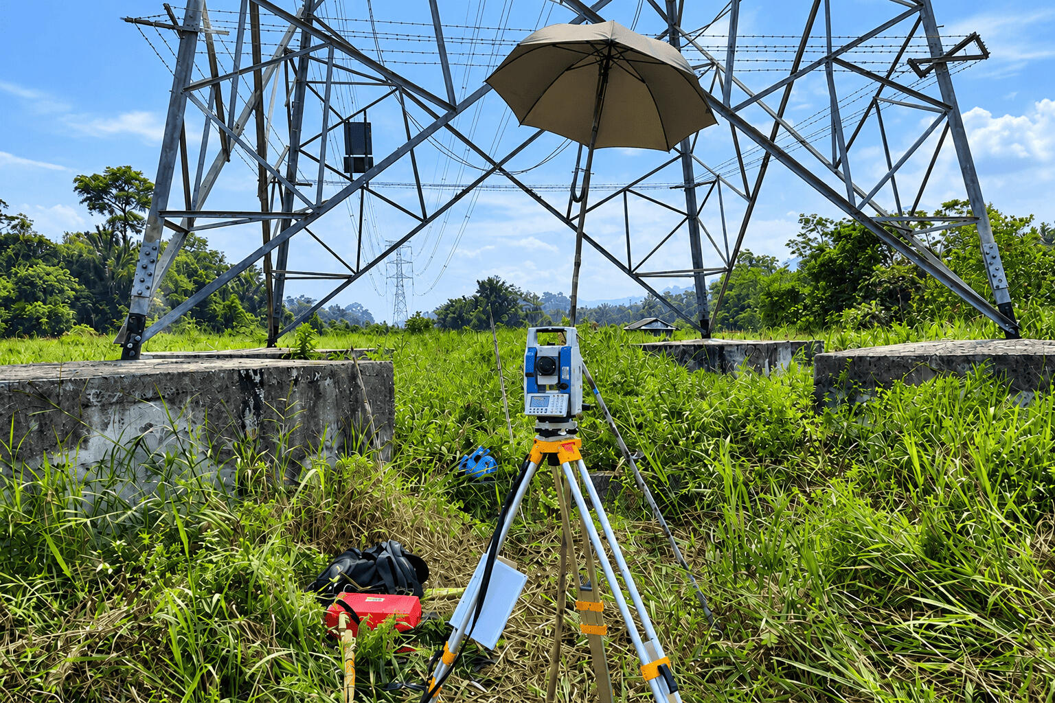
Our topographical surveying services capture detailed information on existing site conditions, including ground levels, terrain, natural features and man-made features. Topographical surveys provide essential data for land development, site planning, engineering design and construction.Engineering Survey
Our engineering survey services provide accurate survey data for infrastructure, construction and engineering projects. We support project requirements including site measurement, setting out and construction-related surveying, helping ensure works are carried out accurately according to design requirements.Hydrographic & Bathymetric Survey
Our hydrographic and bathymetric survey services provide detailed measurements of rivers, waterways, coastlines and seabeds. Survey information can support engineering design, navigation, development planning and environmental management.GNSS & Control Survey
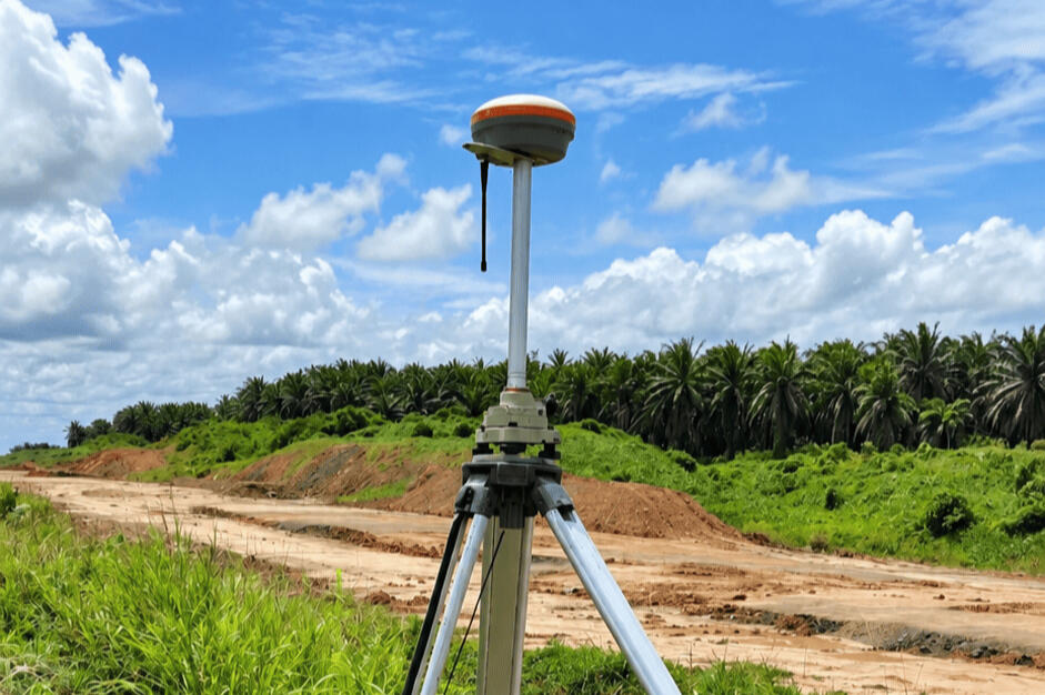
Our GNSS surveying and control survey services establish accurate positioning and reliable survey control points and reference networks. These provide a dependable geodetic framework for land surveying, mapping, construction and other surveying applications.UAV LiDAR & Photogrammetry
Our UAV LiDAR and photogrammetry services use drone-based aerial surveying technology to capture high-resolution spatial data. We provide aerial imagery, LiDAR data and 3D terrain models for surveying, mapping, site analysis, planning and design.Underground Utility Detection & Mapping
Our Underground Utility Detection and Mapping (UUDM) services help identify and map buried utilities and underground infrastructure. Accurate underground utility information supports safer planning, design, excavation and construction.Land Development & Planning Consultancy
Our land development and planning consultancy services provide professional guidance on land use, development planning and project approval requirements. We support clients in planning and progressing their land development projects.

Our Director
Sr Eric Lee Kuan Hui is a Licensed Land Surveyor registered with the Land Surveyors Board Sarawak and Director of Apex Survey Consultants Sdn. Bhd., a professional land surveying consultancy based in Kuching, Sarawak. He has over a decade of professional experience in land surveying and project management.A graduate of the University of Otago, New Zealand, Eric has extensive experience in cadastral, engineering, topographical, hydrographic and GNSS surveying. His professional experience spans field surveying, project coordination, client liaison and project delivery, with a strong focus on accuracy, professional standards and practical project solutions.Eric is certified by the Land Surveyors Board Sarawak as competent in cadastral surveying, utility mapping surveying and Unmanned Aircraft Systems (UAS) mapping. These areas of competency complement Apex's capabilities in land surveying, utility detection and mapping, UAV mapping and geospatial surveying.He is also a Qualified Person under the Ministry of Natural Resources and Urban Development Sarawak, supporting his professional involvement in land development, planning and related project requirements.As Director, Eric leads Apex Survey Consultants with a commitment to precision, integrity and professional excellence. He oversees the delivery of accurate, reliable and practical land surveying and geospatial solutions for clients across Sarawak, supporting property development, infrastructure, engineering and land development projects.
Contact Us
Operational Address
2nd Floor, Sublot 2, Lot 68–71,
Jalan Green, 93150 Kuching, SarawakContact
Tel: 082-846 800
Fax: 082-846 805
Email: [email protected]
Thank You
Contact us for a free consultation to discuss your land surveying and geomatic needs. We look forward to working with you and providing professional, reliable surveying solutions.